Gallery containing mountains and scenery (public domain) photos from the Canadian National Parks – Western Canada. The vast majority of mountains in Canada lie in the western provinces of British Columbia and Alberta and the Yukon Territory. Mountains can be found all over British Columbia while those in Alberta are mainly concentrated on the eastern side of the Canadian Rockies.


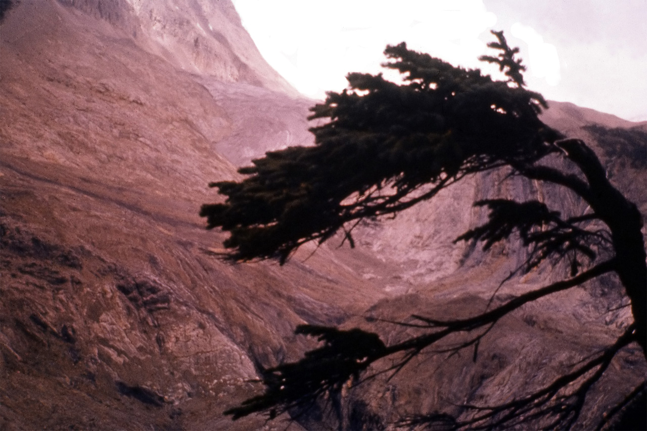
Yoho National Park is located in the Canadian Rocky Mountains along the western slope of the Continental Divide in southeastern British Columbia. Yoho NP is bordered by Kootenay National Park on the southern side and Banff National Park on the eastern side in Alberta. The name Yoho comes from the Cree word for awe and wonder.
The Canadian Rockies consist of sedimentary rock, with numerous fossil deposits. In particular, the Burgess Shale, located in Yoho National Park, has among the world’s richest deposits of rare fossils. The park’s administrative and visitor centre are located in the town of Field, British Columbia, beside the Trans-Canada Highway.
Glacial striations are scratches or gouges cut into bedrock by glacial abrasion. Glacial striations are usually multiple, straight, and parallel, representing the movement of the glacier using rock fragments and sand grains, embedded in the base of the glacier, as cutting tools. Large amounts of coarse gravel and boulders carried along underneath the glacier provide the abrasive power to cut trough-like glacial grooves, and finer sediments also in the base of the moving glacier further scour and polish the bedrock surface, forming a glacial pavement.


Wasa Lake is a lake in British Columbia, Canada. The lake is reported to be the “warmest lake in the Kootenays” with many popular beaches run by BC Parks. Tourists visit Wasa Lake in the summer for waterskiing, swimming, wind surfing, and fishing. Perch, Pumpkinseed Sunfish and Largemouth bass fishing are available in this freshwater lake.
Wascana Centre (formally established in 1962) is a 9.3 square kilometre (2,300 acre) park built around Wascana Lake in Regina, Saskatchewan. It brings together lands and buildings owned by the City of Regina, University of Regina, and Province of Saskatchewan, each of which is represented on the board of directors, and contains government, recreational, cultural, educational and environmental facilities.


Wascana Lake was originally created in 1883 by damming Wascana Creek between Angus and Rae Streets to provide a “stock watering hole”. The Lake was soon turned to recreational use and Reginans took to the lake for sailing and canoeing. Its size was slightly reduced in 1908 when a new dam and bridge were constructed in their present location. The lake continued for a time to be used as a domestic water supply and for stock watering; it also supplied the new legislative building.
A longer term effect resulted, however, when lake water was used to cool machinery in the power plant (now the Powerhouse Museum) that was built in the eastern sector. Heated water returned to the lake, causing that sector to remain ice-free through the winter, and several species of migratory birds made it their year-round habitat. The eastern sector of the lake is now a waterfowl sanctuary.
Wiwaxy Peak is a mountain peak near Lake O’Hara in British Columbia, Canada. It was named in 1894 by Samuel E.S. Allen for the Stoney First Nations word for “windy”. The Burgess Shale fossil animal, Wiwaxia corrugata is named after it.
imcphoto
I'm a photography enthusiast with a passion for classic film cameras and writing. I believe that photography is a powerful tool for storytelling and I strive to create images that are evocative and meaningful. I hope you enjoy my work!