Gallery containing mountains and scenery (public domain) photos from Canada. Many of these photos are made by Dudley Foskett, and include locations such coast and fisheries in northern British Columbia and native villages. The vast majority of mountains in Canada lie in the western provinces of British Columbia and Alberta and the Yukon Territory.
Canada has an extremely large number of lakes. The number of lakes larger than three square kilometers is estimated at close to 31,752 by the Atlas of Canada, with 561 lakes with a surface area larger than 100 km2. Almost 9% of Canada’s total area is covered by freshwater.


Lac La Hache is a recreational and retirement community in the Cariboo region of British Columbia, Canada. Located on the shore of Lac La Hache alongside British Columbia Highway 97 near the regional centre of 100 Mile House, the community’s origins date to the days of the Cariboo Gold Rush and the Cariboo Wagon Road, for which it provided an important roadhouse. Its name comes from a story about an axe thrown in the lake, and originally it was equally known as Axe Lake until the French version of its name became preferred.
Marble Canyon is a small canyon in the south-central Interior of British Columbia, Canada a few kilometres east of the Fraser River and the community of Pavilion, British Columbia, approximately midway between the towns of Lillooet and Cache Creek. A collapsed karst formation, the canyon’s name comes from the brilliant limestone of its walls.


The Miette River is a short river in Jasper National Park, Alberta, Canada. It flows south-southwest through the Rocky Mountains before draining into the Athabasca River. The Miette River, as well as various other geological features in Jasper National Park, are named after the Cree Indian word for ‘mountain sheep.
Princeton is a small town in the Similkameen region of southern British Columbia, Canada. It lies just east of the Cascade Mountains, which continue south into Washington, Oregon and California. The Tulameen and Similkameen Rivers converge here. The area’s main industry has been mining – copper, gold, coal, and some platinum but nowadays the town’s biggest employer is a sawmill owned by Weyerhaeuser, along with a few smaller timber companies, such as Princeton Wood Preservers and Princeton Post and Rail.
Summerland (2011 population 11,280) is a town on the west side of Okanagan Lake in the interior of British Columbia, Canada. The district is between Peachland to the north and Penticton to the south. Summerland is largely a retirement community, with a large percent of the population being elderly. The district is famous for “Bottleneck drive”, a system of roads connecting a large number of wineries.


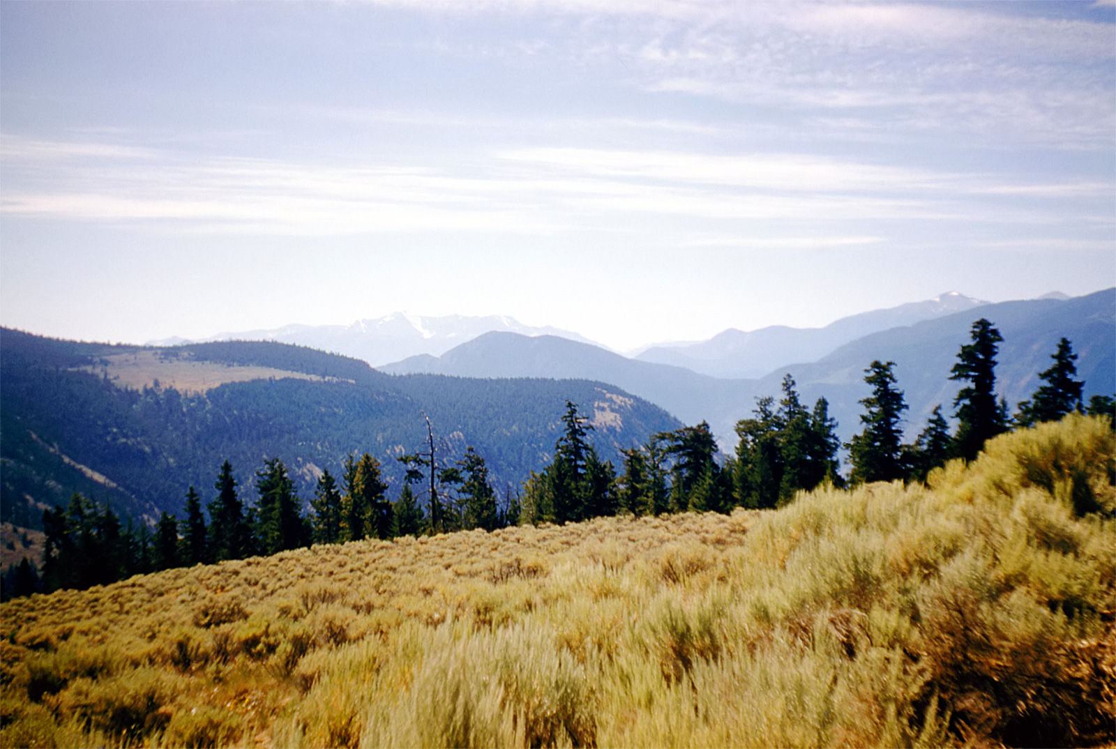
Sunday Summit is a highway summit along the Crowsnest Highway in British Columbia, Canada. It is the second-highest point on the highway between the cities of Hope and Princeton.
The Nicola River is one of the major tributaries of the Thompson River in the Canadian province of British Columbia, entering the latter at the town of Spences Bridge. It is named for Nicola the most famous chief of the joint community of Nlaka’pamux and Okanagan bands, founded by his father and today known as the Nicolas.
Pavilion Lake is a lake in Marble Canyon, British Columbia, Canada. Part of a karst formation, the lake is most notable for being home to colonies of microbialites, a type of stromatolite, and has become the subject of astrobiology research by NASA, the Canadian Space Agency, and research institutions from around the world. The research falls under the umbrella of the Pavilion Lake Research Project. The lake area and its foreshore were added to Marble Canyon Provincial Park in order to protect its special scientific and heritage values.
Williams Creek is an important historical gold mining creek in the Cariboo goldfields of the Central Interior of British Columbia, Canada. Williams Creek is named for Wilhelm Dietz, a Prussian sailor who was one of a party that set out from Lightning Creek and was the first to discover gold on this creek, which was quickly staked by his companions and soon after by others.
Williams Creek because the most important and richest digging in the Cariboo goldfields, giving birth to the towns of Richfield, Barkerville and Cameronton, which collectively were also known as Williams Creek.
imcphoto
I'm a photography enthusiast with a passion for classic film cameras and writing. I believe that photography is a powerful tool for storytelling and I strive to create images that are evocative and meaningful. I hope you enjoy my work!