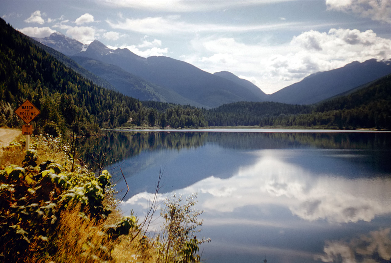
Gallery containing mountains and scenery (public domain) photos from Canada. Many of these photos are made by Dudley Foskett, and include locations such coast and fisheries in northern British Columbia and native villages. The vast majority of mountains in Canada lie in the western provinces of British Columbia and Alberta and the Yukon Territory.
Canada has an extremely large number of lakes. The number of lakes larger than three square kilometers is estimated at close to 31,752 by the Atlas of Canada, with 561 lakes with a surface area larger than 100 km2. Almost 9% of Canada’s total area is covered by freshwater.
Simoom Sound is a post office located at Echo Bay, British Columbia, Canada, on Gilford Island in the Central Coast region adjacent to the body of water of the same name, which was named for HMS Simoom. The name formerly applied to a location on the nearby Wishart Peninsula as a steamer landing but was moved to Echo Bay when the former location became depopulated.
Kalamalka Lake is a large lake in the Interior Plateau of southern central British Columbia, Canada, east of Okanagan Lake and approximately 4 kilometres south of Vernon. The lake is named for the Okanagan Indian chief who occupied its northern shores. At different times of the year the colour of the lake can range from cyan to indigo, in different spots at the same time. The colour of the water is derived from light scattering, caused by the precipitation of calcite.
Kinbasket Lake (or Kinbasket Reservoir) is a reservoir on the Columbia River in southeast British Columbia, north of the city of Revelstoke and the town of Golden. The reservoir was created by the construction of the Mica Dam. A number of small communities were inundated by the creation of Kinbasket Lake, and comprised a region known as the Big Bend Country, a subregion of the Columbia Country. Among these towns were Mica, Big Bend, Downie, Boat Encampment and La Porte.
Victoria Glacier forms a prominent backdrop to the spectacular Lake Louise vista. The glacier actually consists of two pars, a mountain glacier (a.k.a. “glacierets”) draped over the upper slopes of Mt Victoria, and a valley glacier between that peak and Mt Lefroy. The valley glacier is fed almost entirely by avalanches coming off the mountains, though Abbot Pass also contributes a small amount of snow.
Owikeno Lake: The lake’s name comes from the indigenous people of the region, the Wuikinuxv, whose settlements and territory lie around the lake. Their largest and principal settlement was on an island in the upper reaches of the lake named Katil.
Rivers Inlet is a fjord in the Central Coast region of the Canadian province of British Columbia, its entrance from the Dean Channel near that fjord’s mouth, about 125 kilometres southwest of the community of Bella Coola and about 65 kilometres north of the northern tip of Vancouver Island and the western entrance of the Queen Charlotte Strait.
