Gallery containing mountains and scenery (public domain) photos from Canada. Many of these photos are made by Dudley Foskett, and include locations such coast and fisheries in northern British Columbia and native villages. The vast majority of mountains in Canada lie in the western provinces of British Columbia and Alberta and the Yukon Territory.
Canada has an extremely large number of lakes. The number of lakes larger than three square kilometers is estimated at close to 31,752 by the Atlas of Canada, with 561 lakes with a surface area larger than 100 km2. Almost 9% of Canada’s total area is covered by freshwater.


Chasm Provincial Park is a provincial park in British Columbia, Canada located near the town of Clinton. The park was originally created in 1940 to preserve and promote a feature known as the Painted Chasm, a gorge created from melting glacial waters eroding a lava plateau over a 10 million year span called the Chilcotin Group.
The walls of the Chasm contain tones of red, brown yellow, and purple and are an average of 300 metres in height. The Chasm is approximately 600 metres wide and 8 km long.
The Thompson River is the largest tributary of the Fraser River, flowing through the south-central portion of British Columbia, Canada. The Thompson River has two main branches called the South Thompson and the North Thompson.
The river was named by Fraser River explorer, Simon Fraser, in honour of his friend, Columbia Basin explorer David Thompson. A notable feature along the North Thompson is Little Hells Gate, a mini-replica of the much larger rapid on the Fraser downstream from the mouth of the Thompson.


Lake Cowichan is a town located on the east end of Cowichan Lake and, by highway, is 27 kilometres west of Duncan, British Columbia. Lake Cowichan is a growing community.
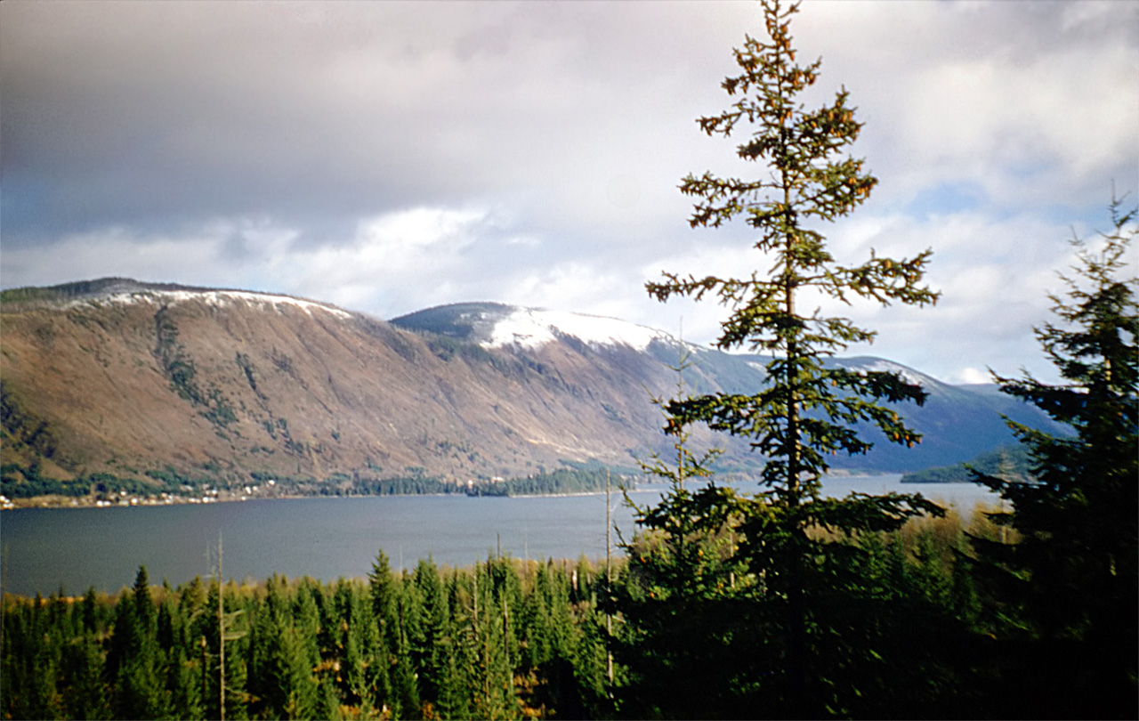
Departure Bay is a bay in central Nanaimo, British Columbia, on the east coast of Vancouver Island. The surrounding neighbourhood is also referred to as “Departure Bay” – once a settlement of its own, it was amalgamated into the City of Nanaimo in the 1970s.
The bay is framed to the west by Vancouver Island and to the south-east by Newcastle Island, a provincial marine park with a long history of mining, quarrying, herring salteries and tourism. Jesse Island (3.6 hectares) and the smaller Brandon Island are located near the northern shore of the bay. Both islands, though quite small, have varied histories.


Edmonton is the capital of the Canadian province of Alberta. Edmonton is on the North Saskatchewan River and is the centre of the Edmonton Capital Region, which is surrounded by Alberta’s central region. The city had a population of 812,201 in the 2011 Census, making it Alberta’s second-largest city and Canada’s fifth-largest municipality.
Emerald Lake is located in Yoho National Park, British Columbia, Canada. It is the largest of Yoho’s 61 lakes and ponds, as well as one of the park’s premier tourist attractions. Emerald Lake Lodge, a high-end lodge perched on the edge of the lake, provides local accommodation.
The lake is enclosed by mountains of the President Range, as well as Mount Burgess and Wapta Mountain. This basin traps storms, causing frequent rain in summer and heavy snowfalls in winter. This influx of moisture works with the lake’s low elevation to produce a unique selection of flora.
Castle Mountain is a mountain located within Banff National Park in the Canadian Rockies, approximately half-way between Banff and Lake Louise. It is the easternmost mountain of the Main Ranges in the Bow Valley and sits astride the Castle Mountain Fault which has thrust older sedimentary and metamorphic rocks forming the upper part of the mountain over the younger rocks forming its base.
The mountain was named in 1858 by James Hector for its castle-like appearance. From 1946 to 1979 it was known as Mount Eisenhower in honour of the World War II general Dwight D. Eisenhower. Public pressure caused its original name to be restored, but a pinnacle on the southeastern side of the mountain was named Eisenhower Tower.
imcphoto
I'm a photography enthusiast with a passion for classic film cameras and writing. I believe that photography is a powerful tool for storytelling and I strive to create images that are evocative and meaningful. I hope you enjoy my work!